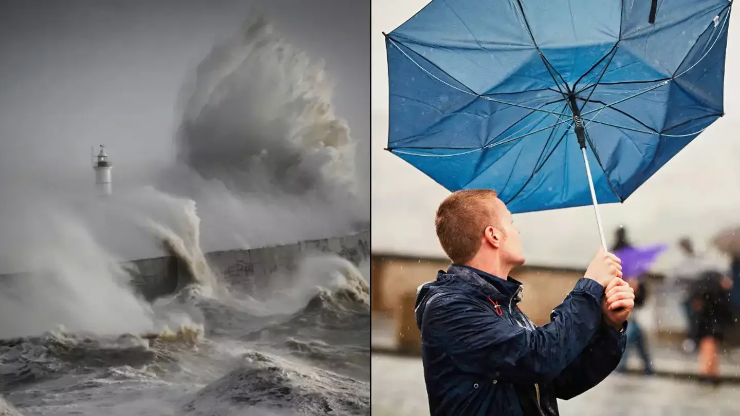
The Met Office has issued a red weather warning over Storm Darragh for parts of Wales and the south west of England.
The red weather warning is used when experts want to get the word out that incoming weather poses a serious ‘danger to life’, and that’s just what they’ve done for Storm Darragh.
Beyond the areas affected by the red weather warning, amber and yellow weather warnings are also in place over many other parts of the UK as high winds from the oncoming storm are expected to cause damage and disruption.
In the worst affected places, winds of 70 to 80mph are forecast, and things could get as bad as 90mph.
Met Office Chief Forecaster, Jason Kelly, said: “The worst impacts from Storm Darragh will be felt as we go through the early hours of tomorrow (7 December) morning and throughout Saturday with, in addition to the broad yellow warning, red and amber wind warnings in place from 1 am tomorrow.
“In the red warning area, we could see wind gusts of up to 90 miles per hour along the coasts of west and south Wales as well as funnelling through the Bristol Channel, with some very large waves on exposed beaches.
“Although there is a lower likelihood of impacts outside of the red and amber warning areas this doesn’t mean you won’t see them.
“We are likely to see impacts across the whole of the country and people should keep an eye on the latest forecast details and prepare for the bad weather, especially if planning to be out and about on Saturday.
“Some areas are likely to have a relatively quiet start to Saturday, weather-wise, but winds will quickly increase from the west through the day.”
The Met Office also warned that flying debris and falling trees would pose a ‘danger to life’, and that on the coastline ‘large waves and beach material’ would also be quite dangerous, the BBC reports.

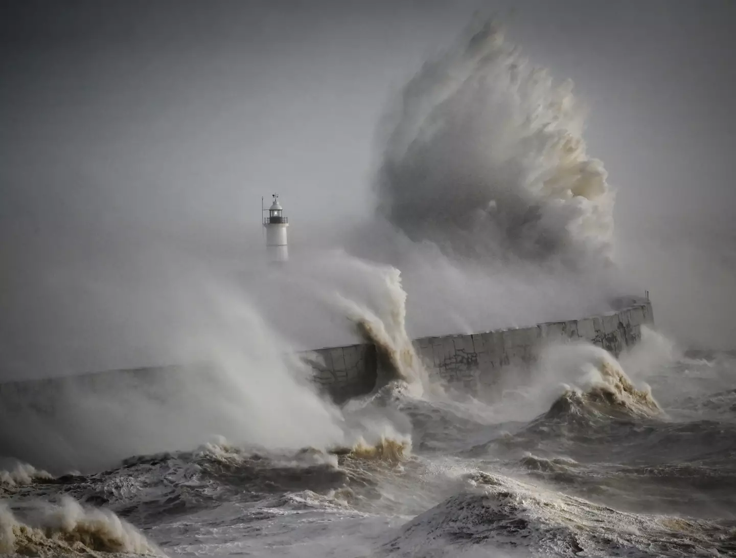
The red weather warning will affect coastal areas in Wales and the south west of England, and waves stirred up by the wind will pose a serious risk. (Getty Stock Photo)
People’s homes could be damaged, while there is also a risk of power cuts and a possible disruption of mobile coverage, the publication adds.
Anybody planning journeys in areas covered by the weather warnings ought to prepare for cancellations and delays as roads, bridges and railway lines could be closed.
If you are going to drive, then heed the advice of National Highways duty manager Dale Hipkiss, who said: “If you’re planning to drive over the next few days, prepare in advance for the journey and take extra care on the roads.
“If weather conditions become challenging, adjust your driving behaviour to manage the conditions as safely as possible.
“It’s also a good idea for drivers to check their vehicles, such as tyres, coolant and oil levels, before heading out to reduce the risk of breakdowns.”
It sounds like if you can avoid travelling then you should.
The high winds of Storm Darragh are expected to be followed by a wave of cold weather, so the UK will need to prepare for next week to bring overnight frosts.
Featured Image Credit: Getty Stock Photo
Topics: UK News, Weather


